|
|
Welcome
Welcome to the GCGC Real Time Network Application!
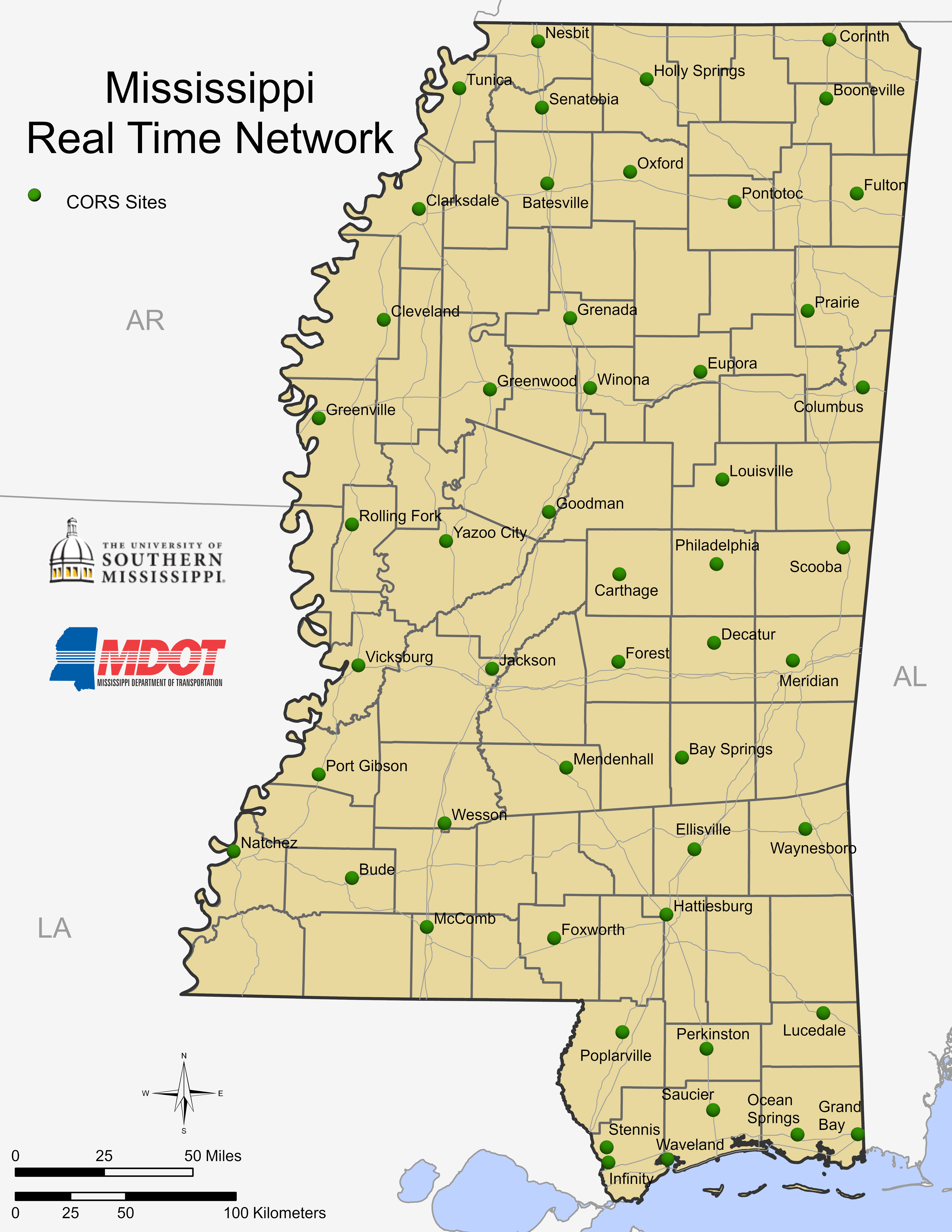
The Mississippi Height Modernization program provides increased accuracy of elevation measurements that comprise the vertical portion of the National Spatial Reference System (NSRS) by integrating Global Positioning System (GPS) and other new survey technologies. This project establishes and monitors Continuously Operating Reference Stations (CORS) throughout Mississippi.
In 2005, an initial CORS network was implemented in southern Mississippi and plans were outlined to establish current, valid elevation on a set of monumented points connecting Louisiana with Pensacola, Florida. Presently, over 50 CORS have been placed.
For more information on the Mississippi Height Modernization Initiative, visit http://www.ngs.noaa.gov/heightmod/.
Why is Height Modernization Needed?
- To aid in designing and constructing roads and buildings
- In disaster situations, it allows for the quick establishment of horizontal and vertical measurements in areas where local infrastructure has been destroyed.
- For Flood Insurance Rate Maps (FIRM) modernization
- It allows for the measurement of subsidence, sea-level rise, and vertical accretion of marshes.
- It allows for more precise modeling of storm-surge and pollution trajectories during extreme weather and hazardous spill events

GCGC contact
GCGC contact
For assistance with your RTN connection, please email gcgctech@usm.edu. For hardware or software configuration issues, please contact your vendor.
Login
|
|